Horses and mules may be ridden on many hiking trails and forest roads on the Sandia Ranger District. Summer riding tends to be hot on both sides of the Sandia Mountains. Higher elevation trails become snowy and icy during the winter. Check with the ranger station for trail conditions. Expect to meet hikers, mountain bikers, and other users. Below is information about trails accessible from roads in all parts of the ranger district. Trailheads are referenced to locations on the Sandia Ranger District map.
Information about routes appropriate for horses and mules is given below. The Sandia Ranger District has been divided into several areas which are identified by a major highway or developed site such as a trailhead parking lot. (Abbreviations: FR – Forest Road and PA – Picnic Area.)
NM-337 South of Tijeras
(Distances are from the ranger station in Tijeras.)
This area provides access to the Cedro Peak and David Canyon areas.
Chamisoso Road (FR 462) (0.7 mile) – Parking: Good. These trails are heavily used by mountain bikers and dirt motorcyclists.
Cedro Group Campground – 4.3 miles to Juan Tomas Road (FR 242) on left and then to the east about 1mile to FR 252. Follow signs to campground and trailhead parking ¼ mile west of campground. Parking: Excellent. Restrooms.
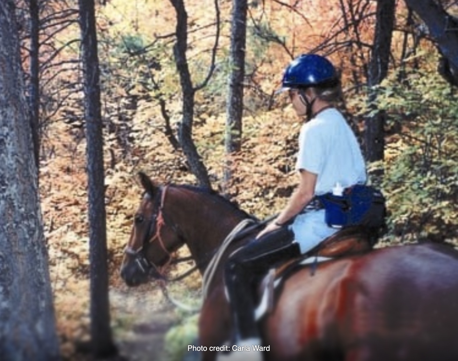
David Canyon Area (8 miles) – Follow Raven Road to Mars Court on the right. Many trails in this area. Parking: Very good in gravel lot just past vehicle gate.
The Manzanita Mtns. Trail Map is available at the Sandia Ranger Station or online at www.fs.usda.gov/Internet/FSE_DOCUMENTS/fseprd555098.pdf
NM-333 (Old US 66) West and East of Tijeras
Three Gun Spring Trail 194 – Park on NM-333 shoulder and ride to the trailhead on the north side of Monticello subdivision via Monticello Drive, Allegro Road, and FR 522. Sandy winter ride with great views of Tijeras Canyon.
South Crest Trail 130 – Canyon Estates Trailhead is north of I-40 in Tijeras at end of Arrowhead Trail (FR 519). Access to Lower Faulty Trail 195 and Upper Faulty Trail 195A. Many hikers on trail. Parking lot fills early with hikers’ vehicles. Designated paved parking area with space for 3 or 4 trailers.
Longview Trailhead – Go two miles east of I-40 Zuzax Exit on NM-333 and then south one mile on Five Hills Road to Longview Road. Parking: Good at end of road.
Sandia Crest National Scenic Byway (NM-536) on East Side of the Sandias
Cienega Horse Bypass Trailhead – To left of Cienega Canyon Picnic Area road (FR 190. Easy access to Faulty Trail 195, Oso Corredor Trail 265, and many unmarked neighborhood routes. Spacious gravel parking area with easy access. Closed Nov. 1 to May 1, check with Sandia Ranger Station at 281-3304. Fee required. Restroom.
Doc Long Picnic Area – Access to Bill Spring Trail 196, Oso Corredor Trail 265, Faulty Trail 195, and Crest Trail 130 South. Heavily used PA with many children and dogs. Paved parking with limited access for horse trailers. Fee. Restrooms.
Barro Canyon Trailhead (0.4 mile north of Doc Long Picnic Area at first curve in highway) – Access to Barro Canyon Trail and North Mystery Trail. Trails to the north across highway. Little used trails. Barro Trail eventually dead ends at closed gate. Lots of knee-bangers on North Mystery Trail. Gravel parking area for 2 or 3 trailers.
Tree Spring Trailhead – Access to Tree Spring Trail 147, Oso Corredor Trail 265, and Crest Trail 130 South. Heavily used hiking trail with dogs and bikes. Paved parking at Tree Spring Trailhead for hikers. Some room for trailers at nearby Dry Camp Picnic Area. Fee. Restrooms.
10K Trailhead – Spectacular heavily wooded trail with North 10K Trail 200 providing access to Osha Loop Trail 201, Ellis Trail 202, and Penasco Blanco Trail 334. South 10K Trail 200 provides access to Tree Spring Trail 147 and the South Crest Trail 130. Heavily used by hikers but still an enjoyable horse trail. Two large paved parking lots. No designated horse trailer parking, but horse trailers are allowed in the lot on the south side of the Crest Highway. Fee. Restrooms.
Ellis Trailhead – Access to Ellis Trail 202, North 10K Trail 200, Osha Spring Trail 247, and Penasco Blanco Trail 334. Cool summer riding. Spectacular fall aspen color ride. Loops to Survey Trail and North Crest Trail 130. Restrooms at paved parking area (fee).
Sandia Crest Area
Sandia Crest recreation area closed until January 2027. Click here for details and alternative routes.
Many hikers and tourists going and coming. Parking lots fill early on summer weekends. Access to North Crest Trail 130 leading to Del Agua Overlook, North 10K Trail 200, Ellis Trail 202, and others. Access to South Crest Trail 130 leading to Tree Spring Trail 147 and South 10K Trail 200. Fee. Restrooms. Parking: Good. Horse trailers permitted on paved parking lot. Lower parking level is best.
Sandia Mountains Western Foothills Adjacent to Albuquerque
Sims Park and Elena Gallegos Picnic Area – Access to Albuquerque Open Space and National Forest trails. Parking: Limited. $1.00 weekday fee and $2.00 weekend fee.
Piedra Lisa South Trail 135 – Trailhead and very small dirt parking lot are located on Forest 333D one-half mile north of Forest Road 333B to La Luz Trailhead. Heavily used by hikers, especially on weekends. Best ridden on weekdays to avoid parking congestion. Icy conditions can be found in winter on north-facing trail sections north of the ridgeline. Parking: Very tight. Park in Juan Tabo Picnic Area and ride to trailhead. Also, additional parking areas to the south along Forest Road 333 near Tramway Road. Fee.
Horseback riding is not recommended on the La Luz, Upper Embudo, Embudito, and Crest Spur Trails.
Side Roads South of NM-165 between I-25 North and Placitas
First access to Forest Road 455 – Dirt parking lot. Access to western sections of Forest Road 455
Second access to Forest Road 455 – Strip Mine Trail 51 – Sandy winter or spring ride and early morning summer ride. Park on dirt Forest Road 455.
Piedra Lisa North Trail 135 – Follow Forest Road 455 from NM-165 a few miles to dirt parking lot at trailhead near restroom. Trail leads up wide arroyo to foothills and eventually Del Agua Canyon. Parking: Fair. Restroom.
Tunnel Spring Trailhead – West of Placitas, follow Tunnel Spring Road (Forest Road 231) to a small parking lot. Access to North Crest Trail 130. Parking: Tight. Restroom.
Agua Sarca Trailhead (Trail 254) is to the west of Forest Road 231 about one-quarter mile west of Tunnel Spring parking lot. This trail follows an old mining road up a canyon past an abandoned mine. Limited parking adjacent to Tunnel Spring restroom.
For More Information
Check the Back Country Horsemen Web site at www.bchnm.org
Many thanks to Jaclyn McAllister of Kids Cause, a youth mentoring organization, for suggesting a glossary of horse-related terminology be added to this page.
Last updated 3 weeks ago