Mountain bike trails in the Sandia Ranger District are found in numerous areas of the Sandia and Manzanita Mountains. Below are short descriptions of major trails accessible from Albuquerque city streets or state highways. Trailheads are referenced to locations on the Sandia Ranger District map.
Mountain biking is not allowed in the Sandia Mountain Wilderness.
Smartphone apps such as TrailForks are valuable sources of trail maps.
NM 337 South of Tijeras
(Distances are from the Sandia Ranger Station in Tijeras.)
Chamisoso Canyon – 0.7 mile to Chamisoso Road. Park in lots just east of highway. To access Cedro Peak area trails, ride up Chamisoso Road about 50-75 yards and take the well-defined trail on the right or continue east on Chamisoso Road.
Tunnel Canyon – 2 miles to trailhead parking on right. Follow trail up to saddle and continue straight to access Otero Canyon or turn right on Westridge Tr. 05268. Do not cross the military withdrawal boundary. Area is patrolled by military police.
Otero Canyon – 3.2 miles to trailhead parking on right. Ride up canyon and turn around at military withdrawal boundary. Or, about ¾ mile up Otero Canyon, take either Gnasty Tr, 05057 on the left or Westridge Tr. 05268 on the right.
Pine Flats Picnic Area – 6 miles to Pine Flats Picnic Area on left. Trailhead is at far south end of picnic area.
The Manzanita Mtns. Trail Map is available at the Sandia Ranger Station or online here.
Sandia Mountains Eastern Slopes – Along NM 536
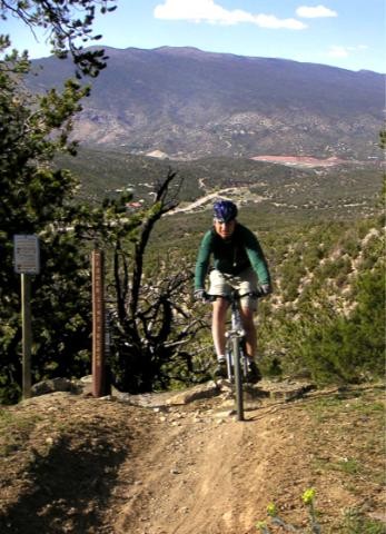
Sandia Peak Ski Area Bike Trails – Chairlift usually opens to bikes on Memorial Day weekend. If the chair is not running, you can always ride your bike to the top.
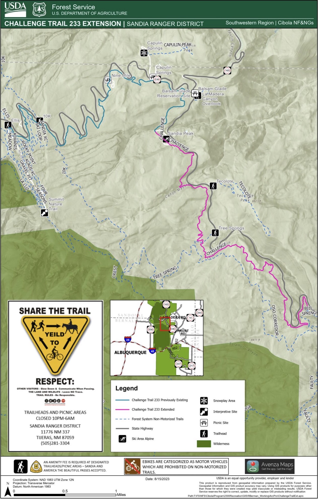
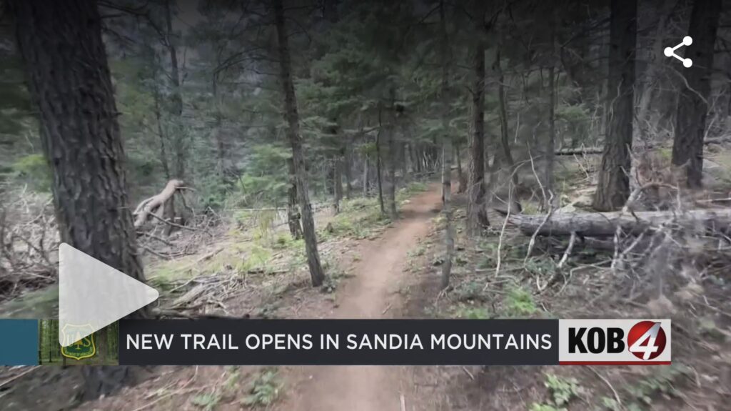
Other Trails – You may want to ride Oso Corredor, 10K to Ellis, or Faulty from Bart’s to Bill Spring. You also can check out the recent 5-mile extension to Challenge Trail that allows rides between Doc Long and Ellis—a total distance of over 10 miles with elevation change of almost 3,000 feet. You can view a KOB TV story about the trail extension here.
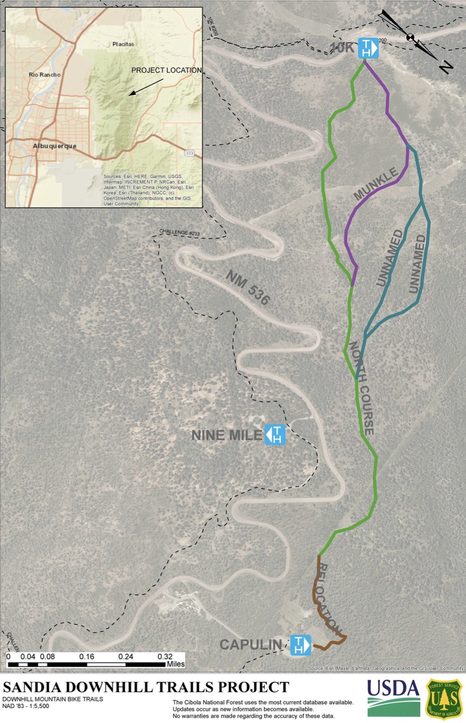
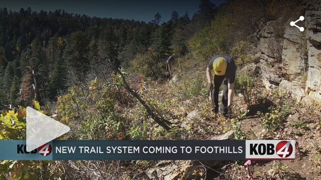
Albuquerque Mountain Bike Association (AMBA), a non-profit organization serving the greater Albuquerque area, is partnering with the Forest Service to develop direction-specific, single-use trails purpose-built for downhill biking between Capulin and 10K North using funds awarded in a state grant. You can view a KOB TV story about the future trail system here.
Sandia Mountains Western Foothills Adjacent to Albuquerque
South Foothills Trails – Trailheads at east ends of Menaul, Indian School, and Copper Streets.
North Foothills Trails – Trailheads at Embudito Trailhead parking lot, Michial M. Emery Trailhead at east end of Spain Street, and Elena Gallegos Picnic Area at the end of Albert G. Simms Park Road.
Placitas Area Trails – North End of the Sandias
I-25 North of Albuquerque to NM 165 East three miles to the trailhead on the right – The Placitas Area Trail System Map is available here.
Last updated 5 months ago