Forest Service and FOSM Trail Construction Crew Reroute Sections of Lower Pine and Osha Loop Trails
June 13, 2024 – Sandia Ranger District Trails Foreman Jen Medina-Gray reports:
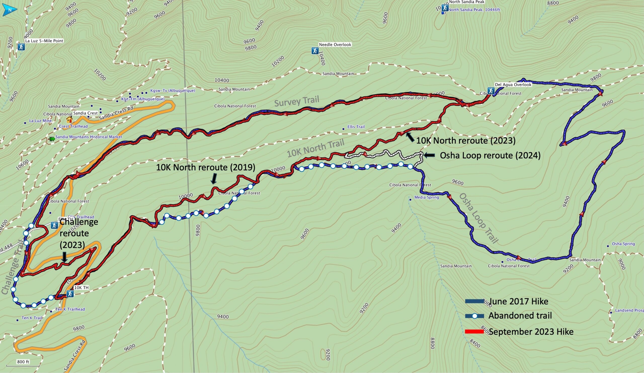
I come with news that we finally finished the Osha Loop extension today. That means old 10k is officially closed. Attached is a map for anyone as confused as I was about how this new extension of Osha Loop interacts with the surrounding trails. The extension we built is in orange.
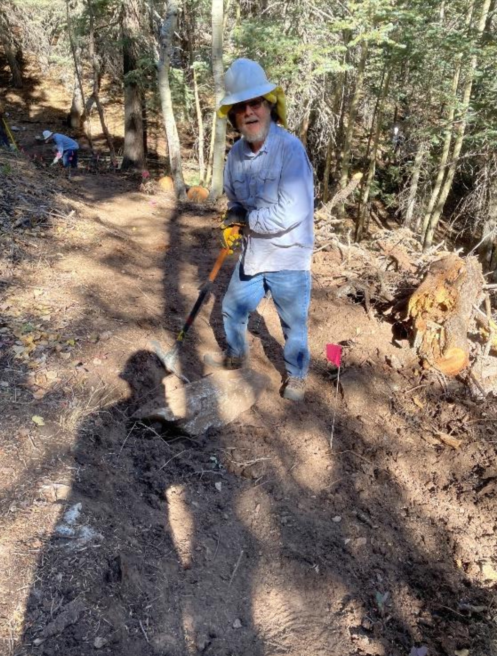
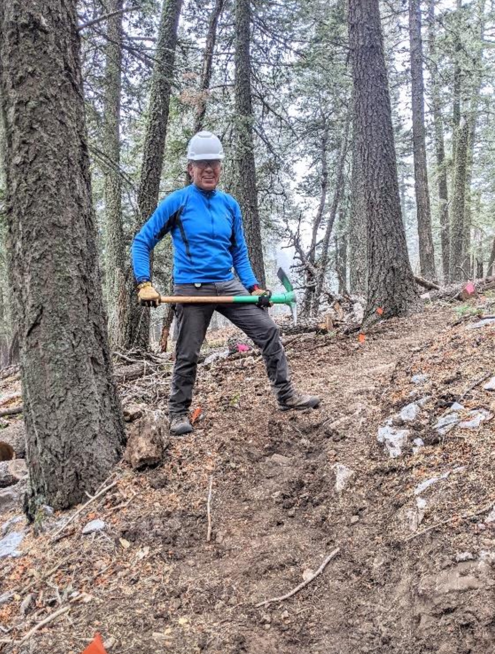
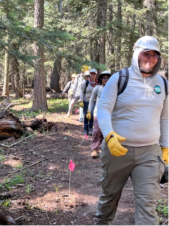
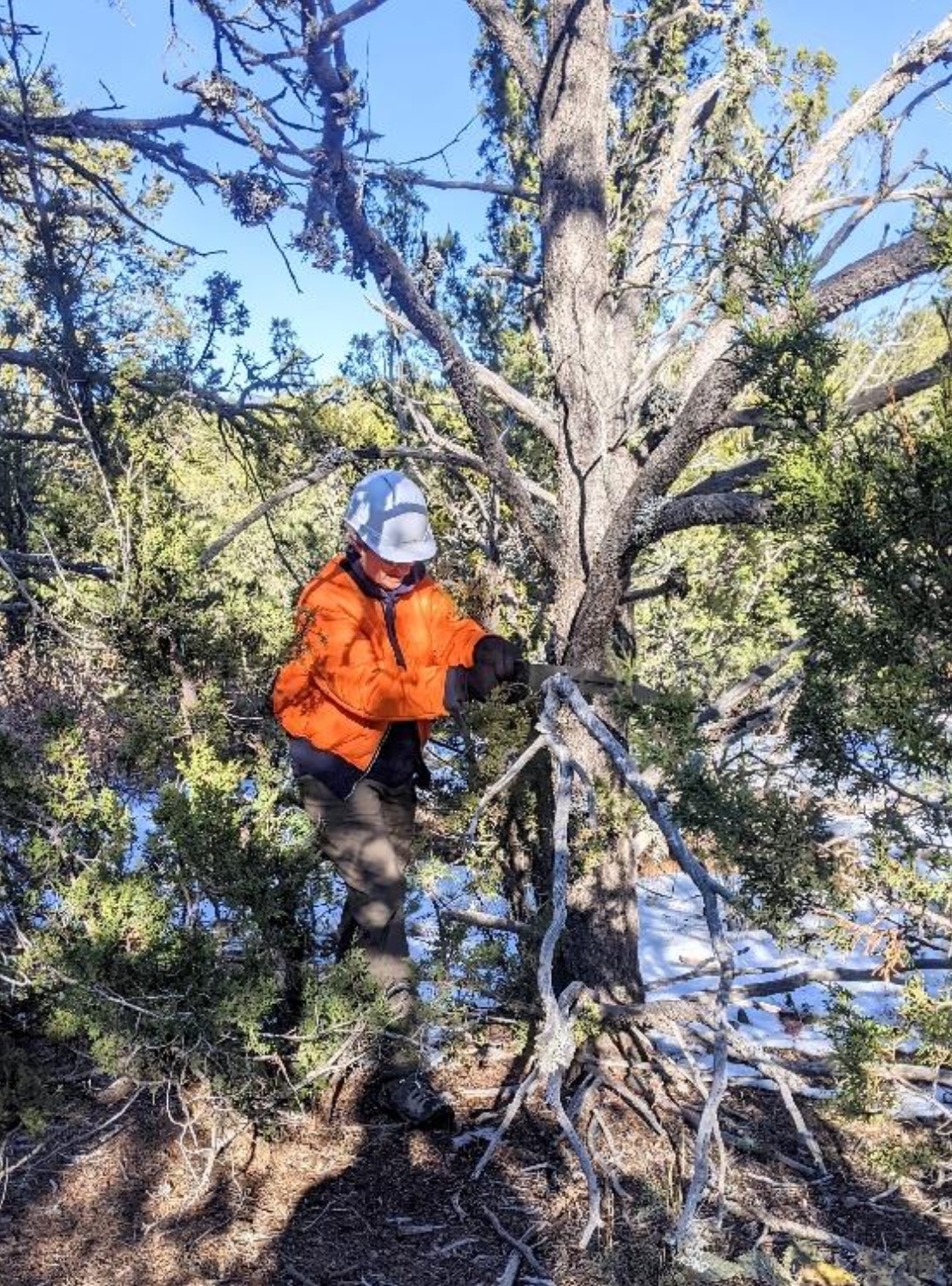
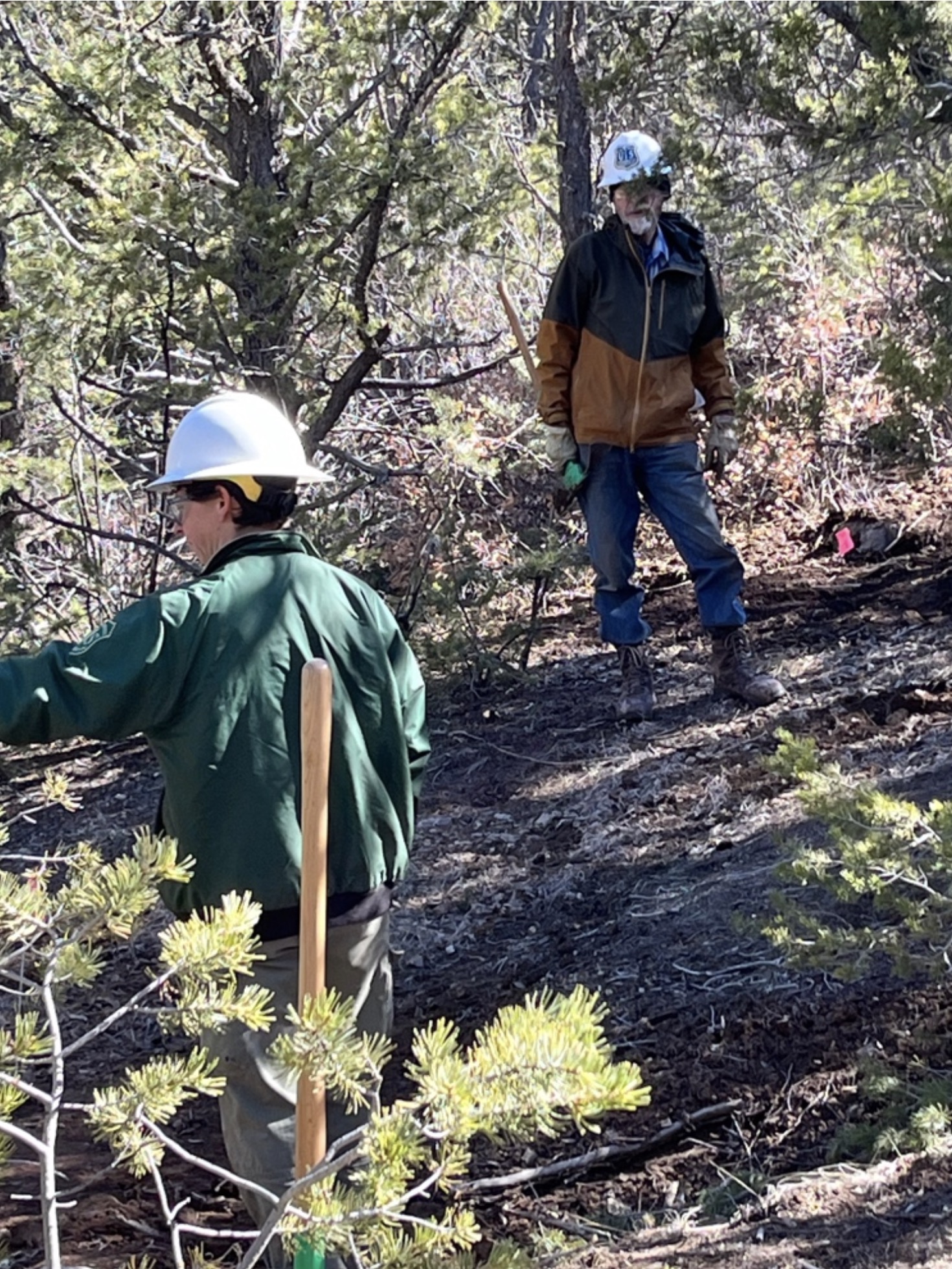
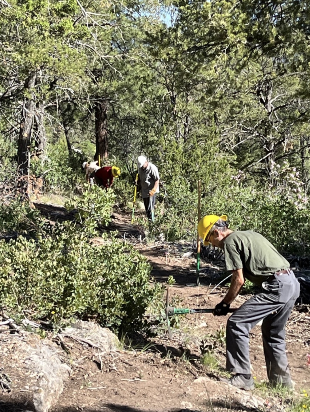
Thank you Jerry and crew for clearing 10k over the last few weeks so we were able to focus on tread digging, and thank you as always to the Thursday FOSM crew for being the best diggers around.
The work began last November under the leadership of Jenny Blackmore upon completion of a reroute of the 10K North Trail. The work was suspended for the winter after the first snowfall.
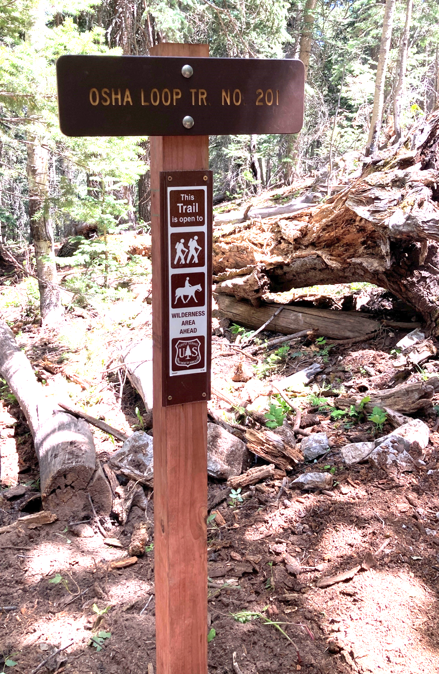
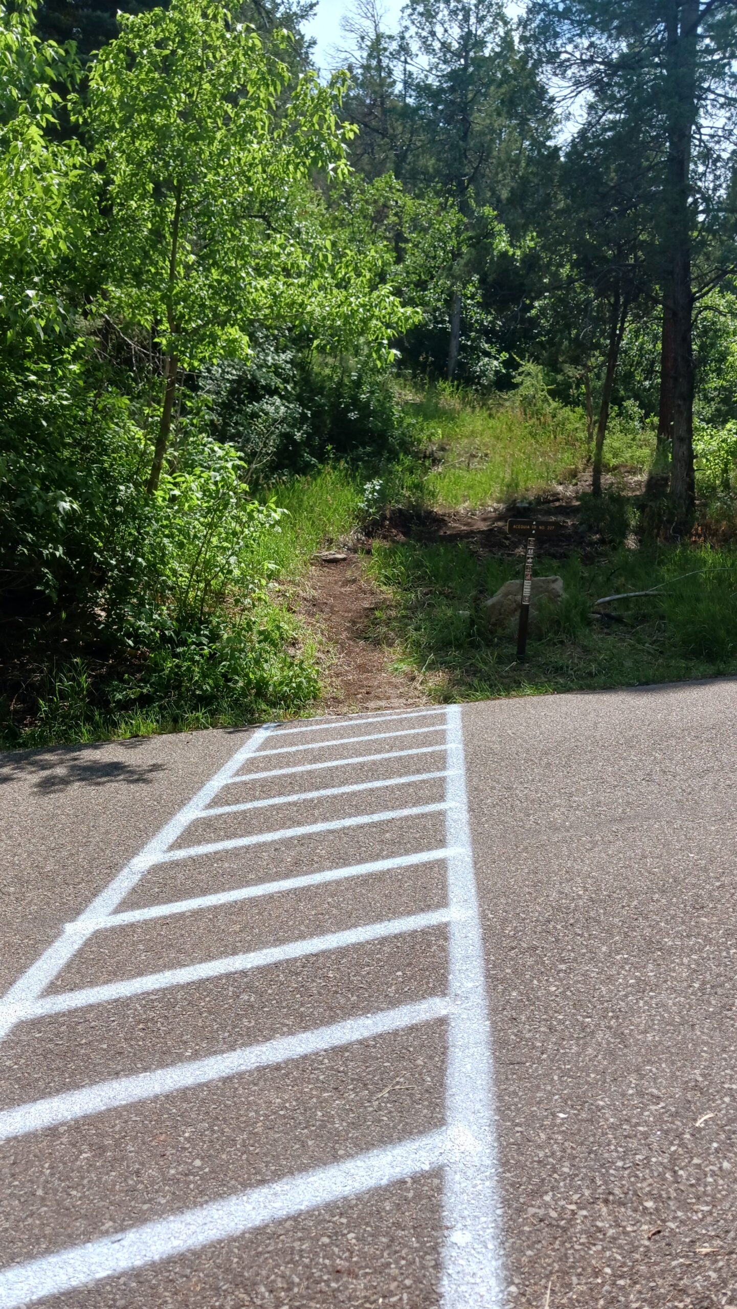
FOSM member Jamey Browning machined a new trailhead sign using materials previously procured by FOSM. Jamey reports that enough material remains for making another half dozen or so signs. Jen installed the sign at the trail intersection on June 20. (See adjacent photo.)
This adjacent map shows the significant improvements made to the 10K North, Osha Loop, and Challenge Trails over the past few years with the just completed reroute of Osha Loop Trail shown in white.
Project reports with lots more photos can be found here.
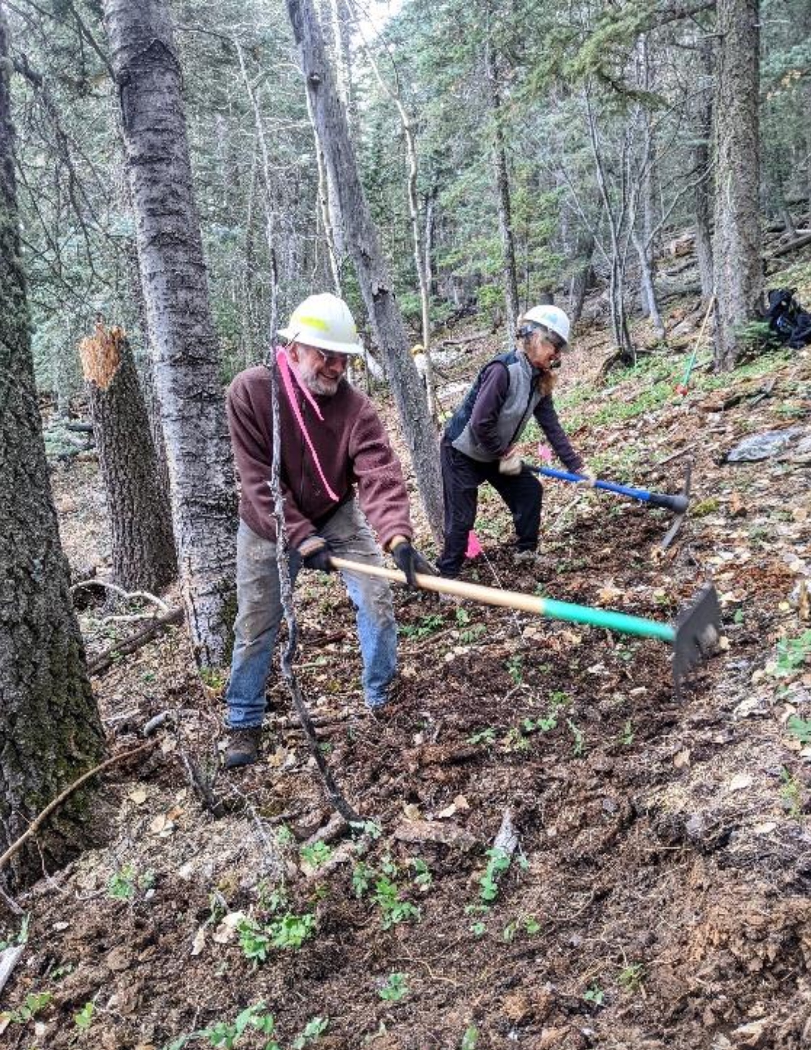
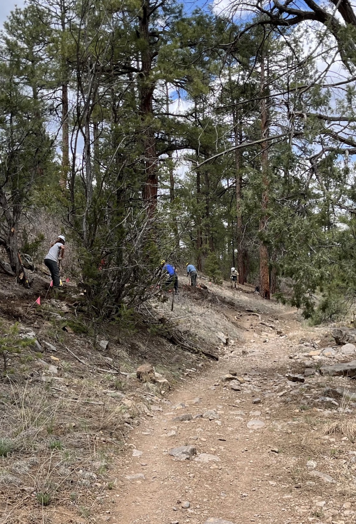
May 30, 2024 – The FOSM trails construction crew, working under the leadership of Sandia Ranger District Trails Foreman Jen Medina-Gray and FOSM member Laura Leon, completed rerouting sections of the Lower Pine Trail out of drainages to improve sustainability of the trail. The work began in December under the leadership of Jenny Blackmore.
Work began with snow on the ground and finished in very warm temperatures. Crew members were happy to move to the cooler temperatures of the 10K North and Oshal Loop Trails.
Project reports with lots more photos can be found here.
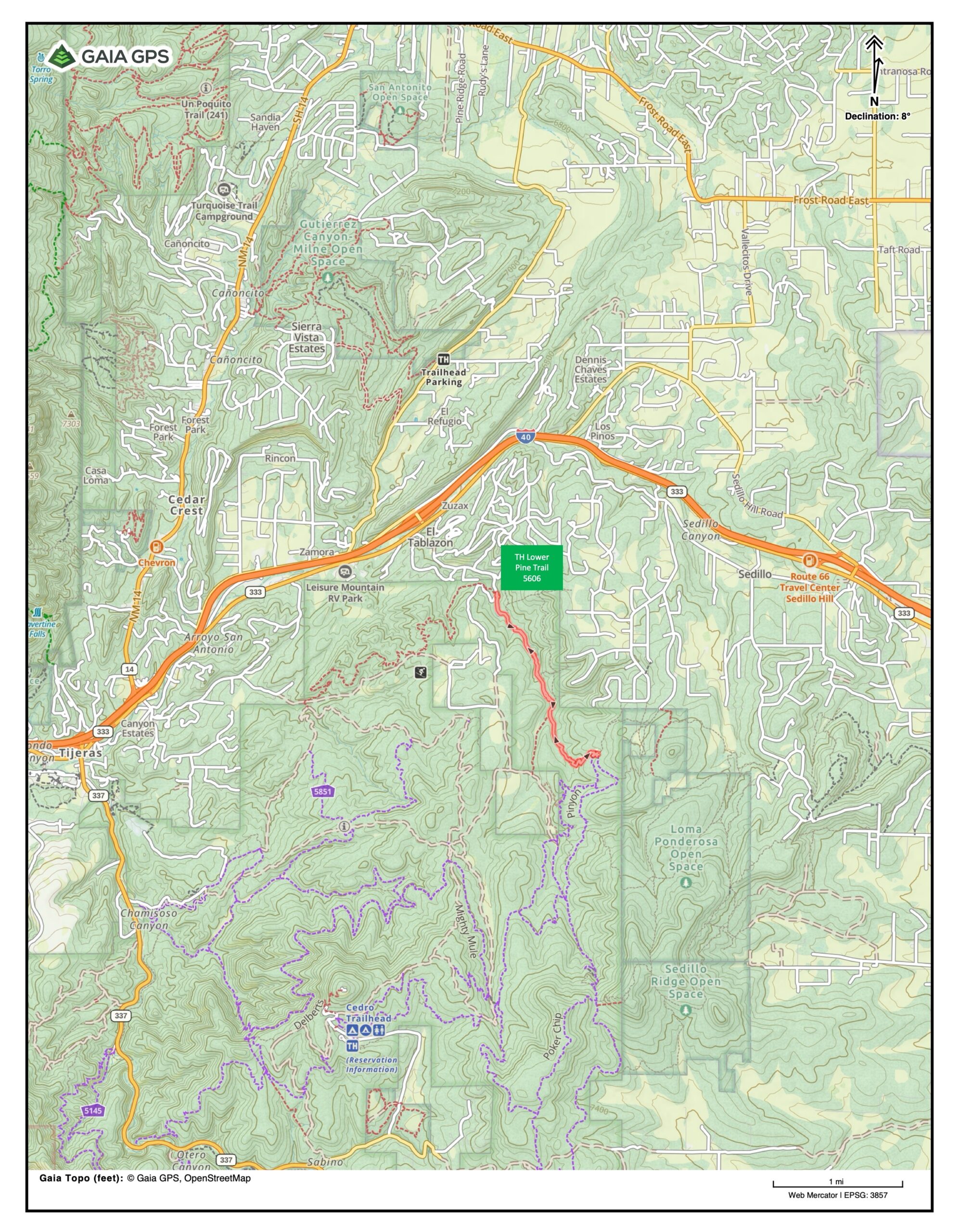
Thanks to Steve Roholt for biking the trail and providing the adjacent Gaia track, which shows the trail to be just over two miles long with elevation ranging between 6,700 and 7,100 feet.
July 18, 2024 – Canyon Young, Sandia Ranger District Trails and Wilderness Program Manager, sent the following message:
Hey there, FOSM Volunteers,
As of last week, the extension of the Acequia Trail in Cienega Canyon is now complete and open to the public! We had a variety of folks involved with this one, including some help from a Talking Talons youth crew, the Albuquerque Mountain Bike Association, and USFS employees from the Albuquerque Service Center, and, as usual, a lot of help from the FOSM Thursday crew.
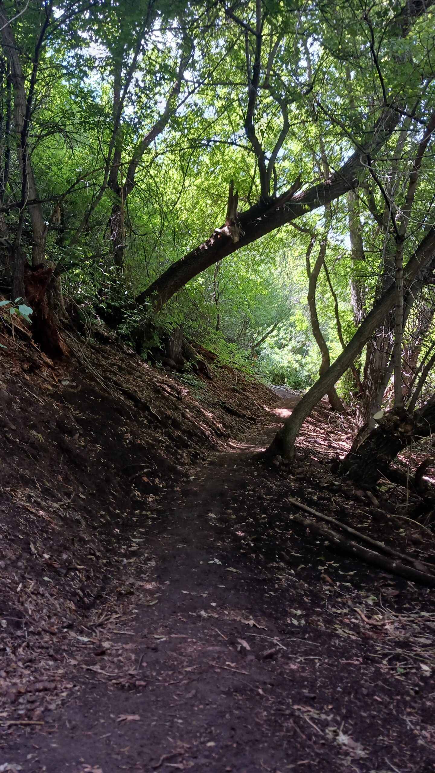
For those unfamiliar with this project: Formerly, the Acequia Trail paralleled the lower half of the Cienega Canyon access road, but ended at the beginning of the wheelchair-accessible, paved Cienega Canyon interpretive trail. This forced trail users to either use the interpretive path or dump out onto the road to connect with the Cienega Trail further up the canyon, neither of which was ideal. By having the trail cross the road and extending it up to connect with the Cienega Trail just above the Cienega Trailhead, this will keep trail users off the road and the interpretive path, allowing for increased capacity, decreased intra-user group conflict, and better overall traffic flow in one of the Sandia Ranger District’s most heavily used developed recreation sites. I might also add that the upper part of the newly constructed trail extension meanders through a tunnel-like section of large maples and oaks that is extra shady and quite beautiful – I’d highly recommend it for your next outing.
Another shoutout to the FOSM paint crew for adding a painted crosswalk on the Cienega access road where the Acequia Trail now crosses it, to aid in letting motorists know to be on the lookout for hikers, mountain bikers, and equestrians about to cross!
Many thanks to those of you who donated your time to this project – we appreciate your involvement in our long-term vision of building the Sandia Ranger District’s trail system into something that can sustainably handle the heavy, multi-use recreational demands of the ever-growing Albuquerque metro area!

Click any image to enlarge.

Last updated 4 months ago