Forest Service Projects Close Recreation Areas
Alternative Hiking Routes Available
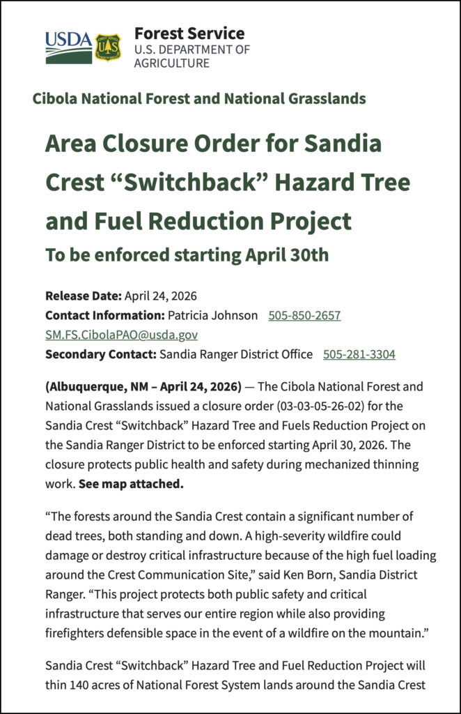
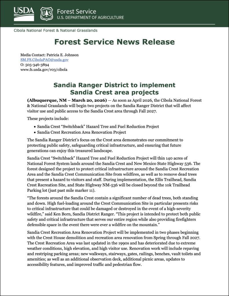
April 24, 2026 — The Cibola National Forest and National Grasslands issued a closure order (03-03-05-26-02) for the Sandia Crest “Switchback” Hazard Tree and Fuels Reduction Project on the Sandia Ranger District to be enforced starting April 30, 2026. The closure protects public health and safety during mechanized thinning work. See map attached.
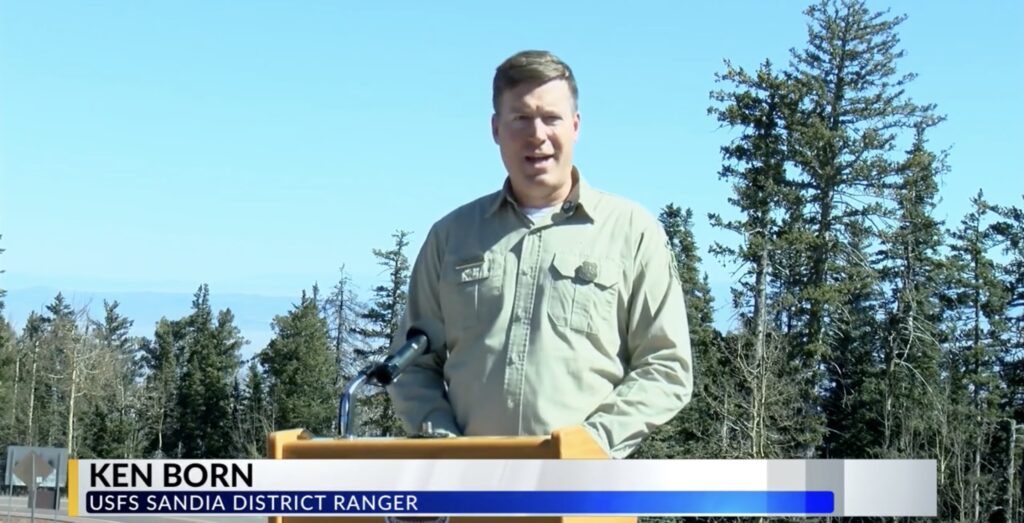
“The forests around the Sandia Crest contain a significant number of dead trees, both standing and down. A high-severity wildfire could damage or destroy critical infrastructure because of the high fuel loading around the Crest Communication Site,” said Ken Born, Sandia District Ranger. “This project protects both public safety and critical infrastructure that serves our entire region while also providing firefighters defensible space in the event of a wildfire on the mountain.”
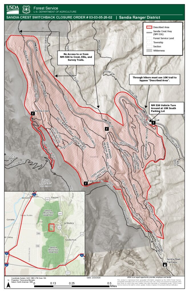
Map also downloadable in gpx and kml formats.
See Forest Service website for updates.
March 20, 2026 – As soon as April 2026, the Cibola National Forest will begin two projects that will affect visitor use and public access to the Sandia Crest area through fall of 2027.
These projects include:
- Sandia Crest “Switchback” Hazard Tree and Fuel Reduction Project
- Sandia Crest Recreation Area Renovation Project
During the implementation of these projects, the Sandia Crest Recreation Area and nearby trails and recreation sites will be closed to the public for an extended period.
The need for the Sandia Ranger District to focus on the Crest site is for health and safety concerns, upholding agency special use permit requirements, hazardous fuels reduction, scenic integrity objectives – and to improve the overall recreation experience for visitors.
April 7, 2026 – During the FOSM Membership Meeting, Ken Born clarified that, contrary to some media reports of a 2-year closure, access to the Crest area during these projects will be restricted during spring to fall in 2026 and to a smaller extent from spring to fall in 2027. Project work will cease during winter months allowing normal access to the area. Ken encouraged everyone to monitor the project webpage for latest information.
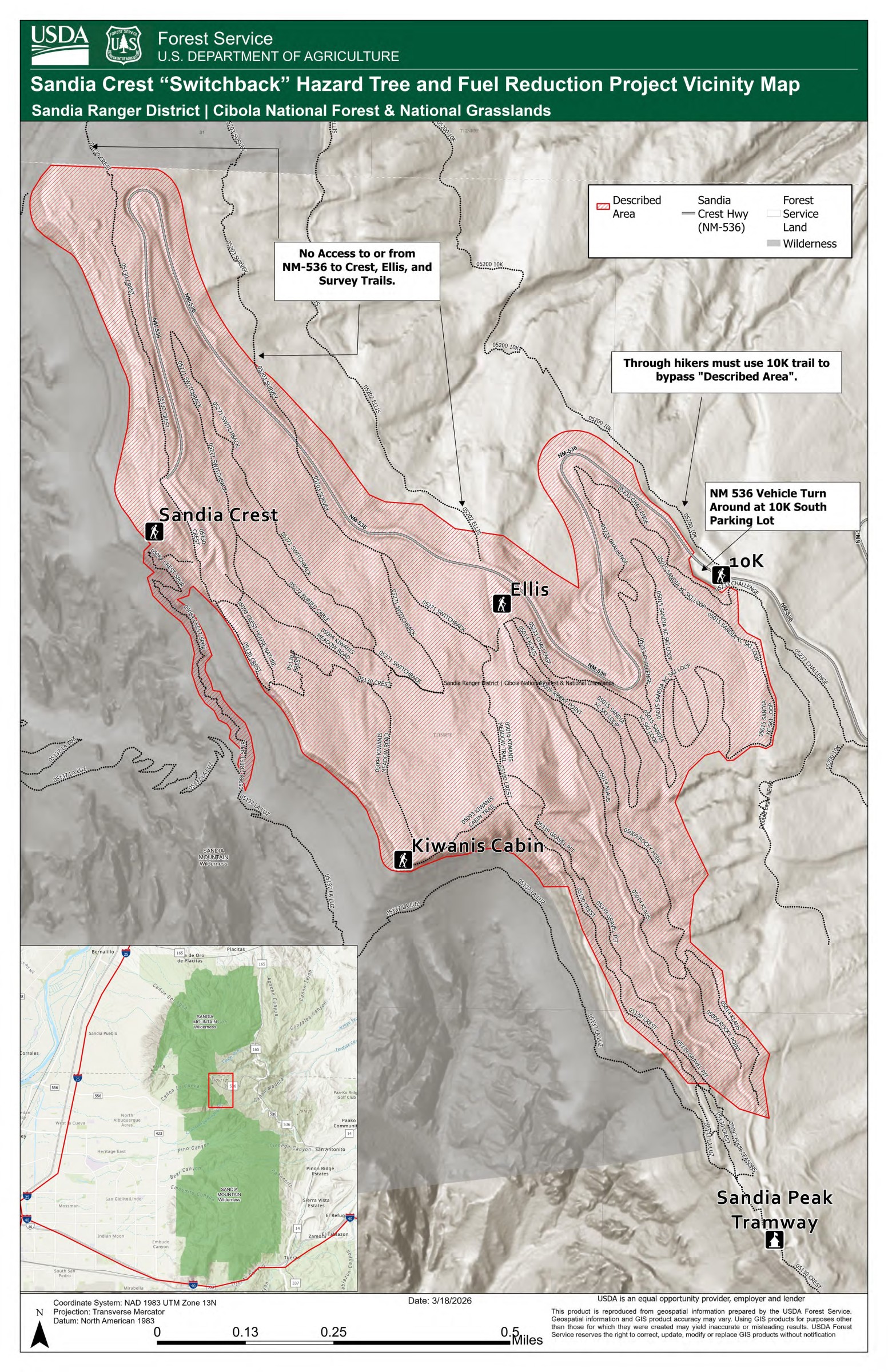
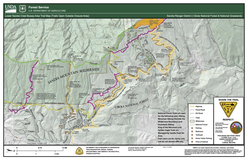
Alternative Hiking Routes During Closure
FOSM member Jamey Browning worked with the Forest Service to develop maps of alternative hiking routes related to the Crest closure. Click on a map to enlarge and download it.
Right: Sandia Peak and South 10K Hiking Area Trail Map
Right: Crest Trail Through Hike – Crest Area 10K Bypass Trail Map
FOSM Volunteers Help Forest Service Prepare for Crest Fuel Reduction Project
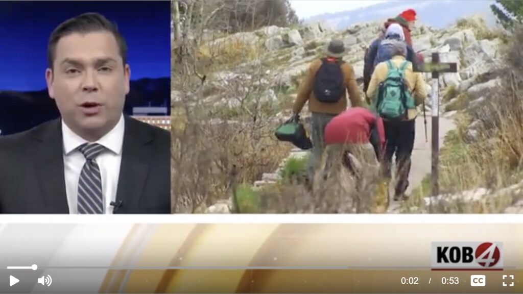
April 1, 2026 – FOSM volunteers joined Sandia District Trails Foreman Jen Medina-Gray at Sandia Crest on a cold, windy day to remove or mark signs along area trails before a contractor begins fuel reduction work in the area.
Jen told KOB 4, “Friends of Sandia Mountains is our biggest volunteer group here in the Forest Service. We really rely heavily on our volunteers group to help us with all our projects.”
Last updated 3 weeks ago